Partners
Spatial Analysis Labs

To find more information on the amazing work done by the UVM/Spatial Analysis Lab, please click HERE. Their blog can be found HERE. To learn more about their drone-based projects, see HERE.
UPCOMING EVENTS
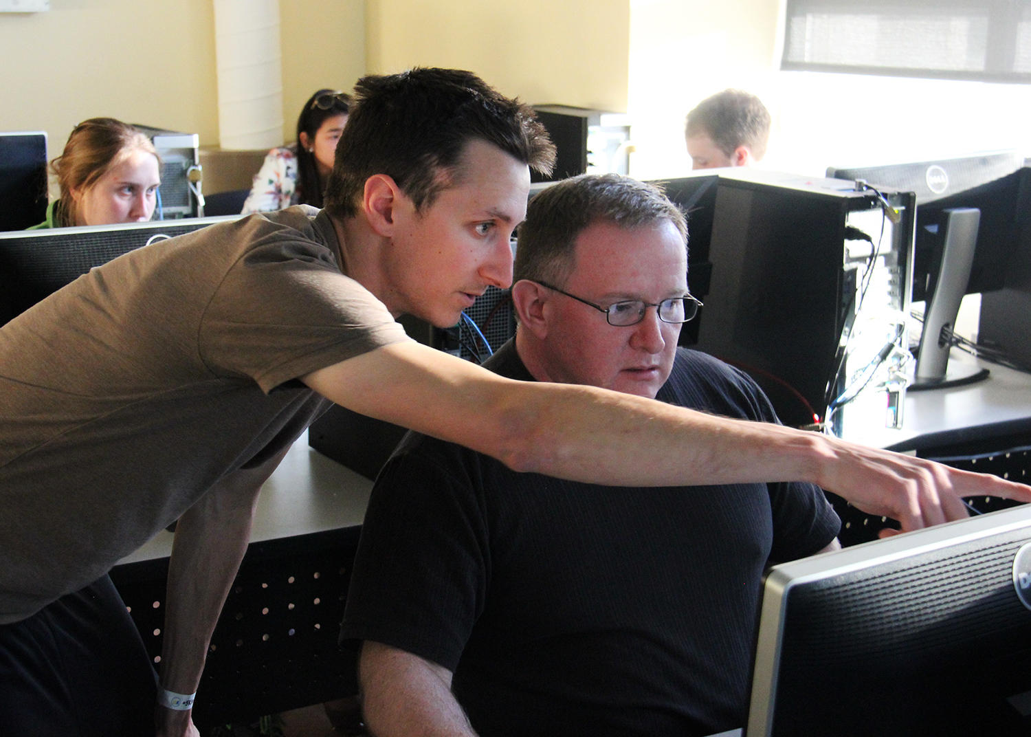
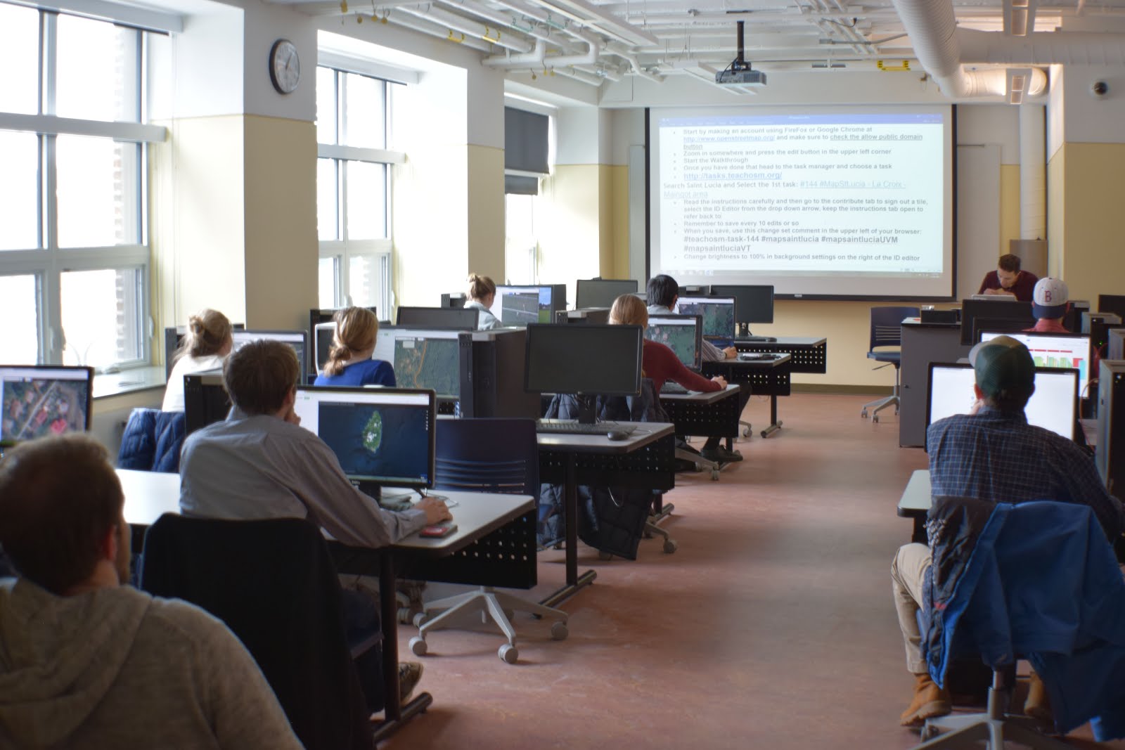
Check back for future mapathons, hosted by the University of Vermont (UVM).
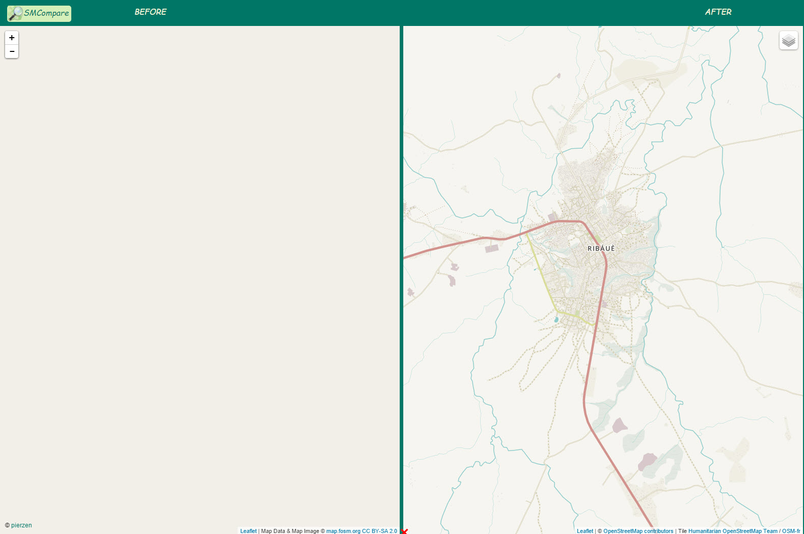
CURRENT USAID/OFDA ASSISTANCE
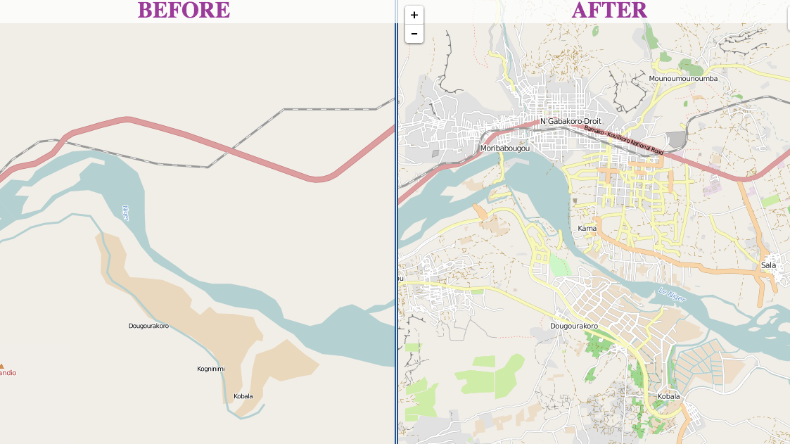
UVM is currently assisting us with creating data around Mt. Sinabung and Mt. Cotopaxi in Indonesia and Ecuador, respectively. When helping with this project, their primary focus is mapping Berastagi and Kabanjahe–cities directly east of Mt. Sinabung.
PRIOR OPENSTREETMAP WORK
Along with helping USAID/OFDA create data in Latacunga–a city located next to Mt. Cotopaxi–UVM has also helped other OpenStreetMap organizations. This includes Doctors without Borders, Humanitarian OpenStreetMap Team, American Red Cross, among others.
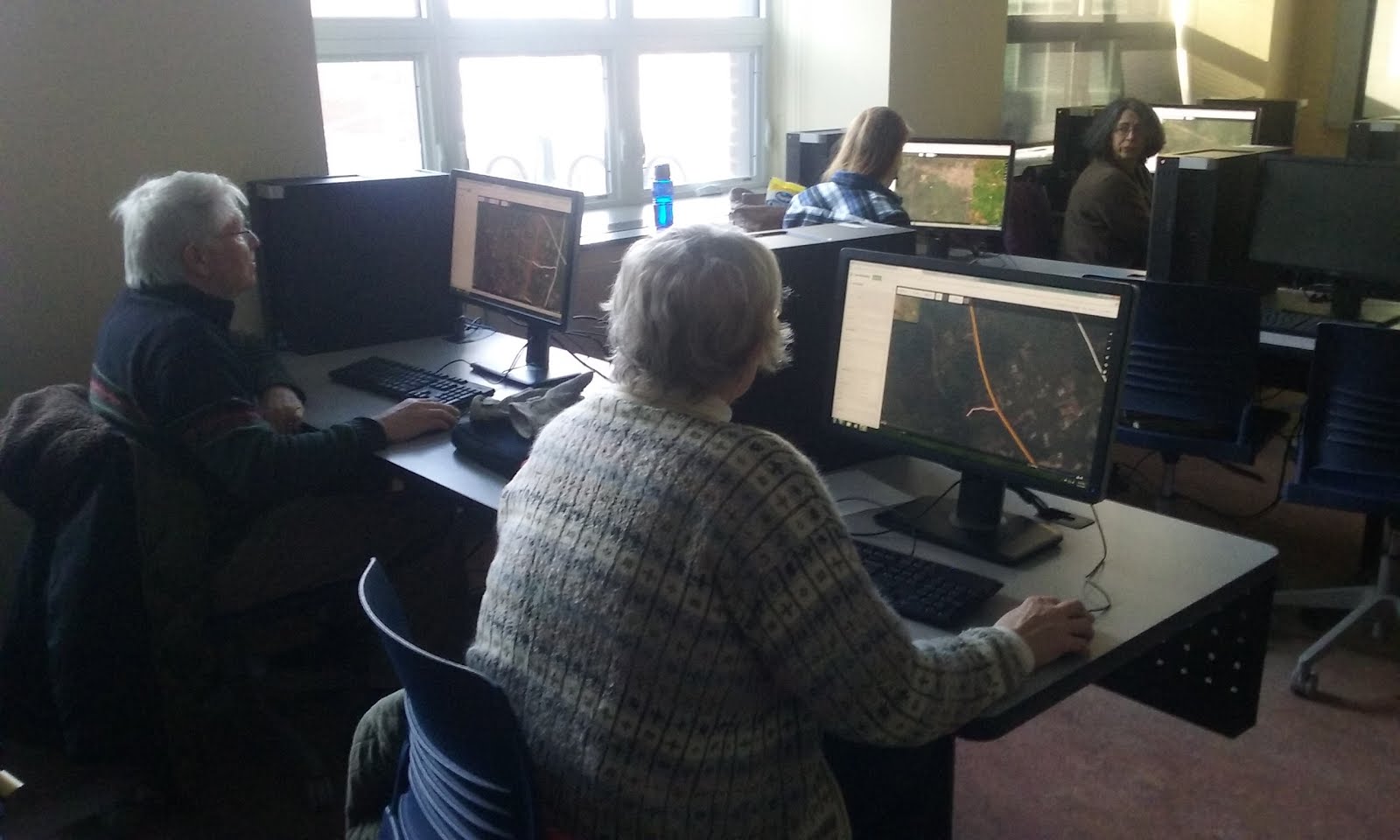
In the last two years, UVM has hosted ten mapathons working on projects in Guinea (Ebola), Sierra Leone (Ebola), Mali, Nepal (Earthquake), Mozambique (HIV), Afghanistan, Chile, Nigeria (Polio), Saint Lucia, Fiji (Cyclone) and Mexico. Listed below are a couple highlights. For more information on these projects, please visit the links above.
Ecaudor
In direct support of USGS/VDAP’s disaster preparedness programs in Ecudaor, UVM had 40 volunteers create over 6,000 buildings in surrounding cities over the course of one mapathon. USAID/OFDA and USGS/VDAP will continue to monitor Mt. Cotopaxi for the foreseeable future due to prolonged activity. The data created has been invaluable in pre-planning for an eruption.
Mozambique
Working with Doctors without Borders, UVM digitized 347 roads, 173 residential areas and 107 waterways. The data was created in support of an in country HIV mediciation program. The data was used to improve understanding of where patients are located and the fastest distributions routes.
Guinea/Sierra Leone
UVM worked on these two countries as part of the larger community effort to digitize road networks within Ebola affected countries. This was in direct support of USG and international efforts to track and contain the Ebola outbreak in West Africa. Examples of the end products can be seen below:
Saint Lucia
Working with Middlebury College, both institutions were able to create detailed road network, building footprint, and waterway datasets. In total, 2,440 buildings and 246 roads in Saint Lucia were digitized to support urban planning, entrepreneurial innovation and disaster preparedness.
Fiji
Volunteers at the university were able to digitize 761 buildings and 147 roads in response to Cyclone Winston.