Volcano Profile
Mt. Awu, North Sulawesi
Mapping Status: NOT MAPPED
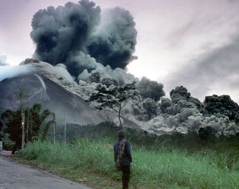
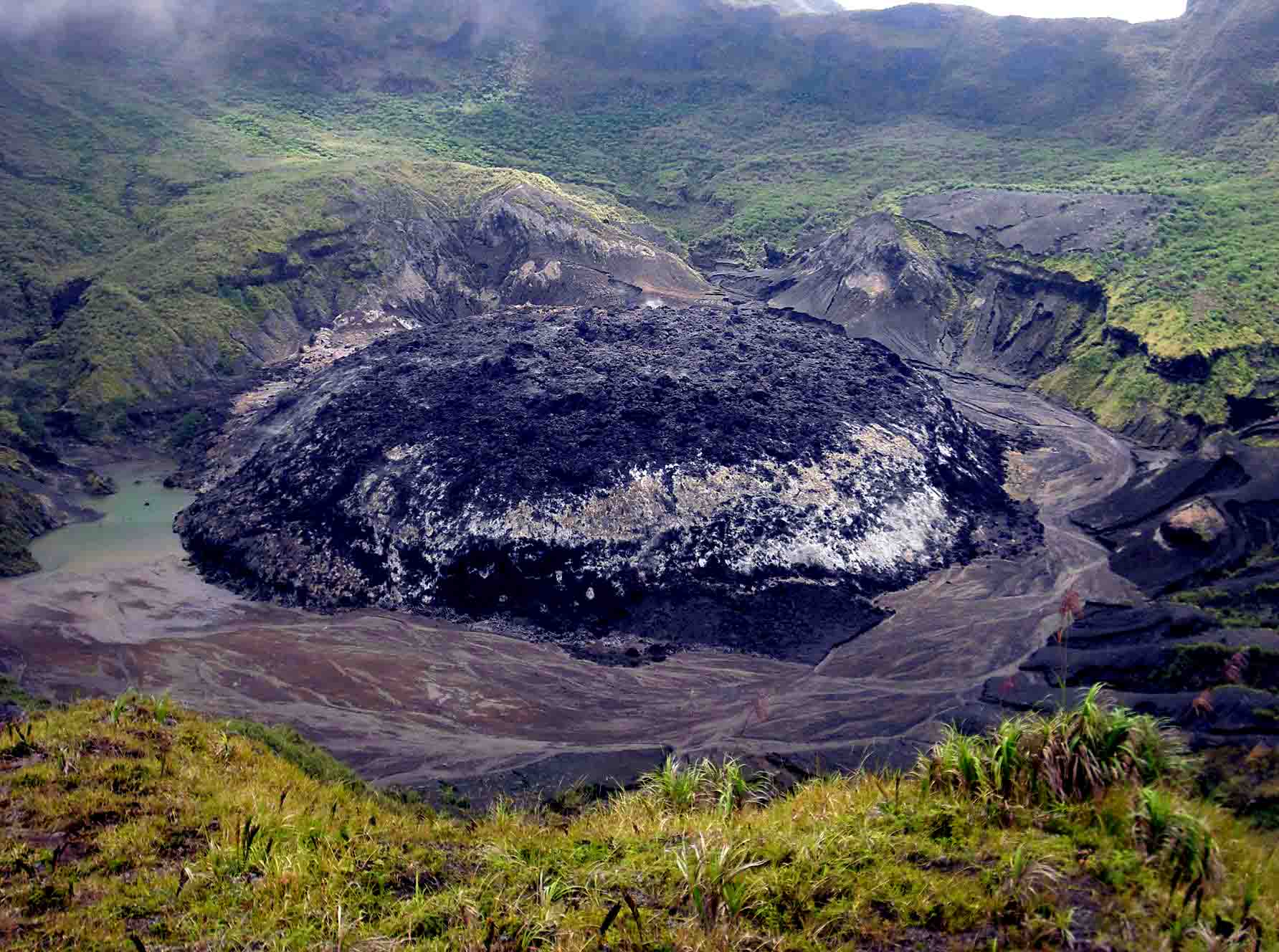
Awu is a massive stratovolcano on Sangir Besar, the largest of the Sangihe Islands, in North Sulawesi, Indonesia. Powerful eruptions in 1711, 1812, 1856, 1892, and 1966 produced pyroclastic flows and lahars which resulted in over 8,000 cumulative fatalities. Awu last erupted in June 2004.
The last major eruption in 1966 resulted in 39 deaths and approximately 1,000 injuries. Eruptions in 1711 and 1856 are estimated to have resulted in approximately 3,000 deaths each.
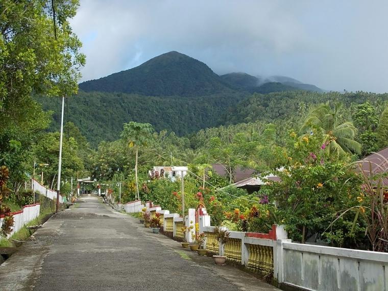
Roughly 130,000 people live within a 50 kilometer radius of Awu (WorldPop, 2015). Nearby towns include Tahuna, Enemawira, Tamako, and Kalasoega. The only airport on Sangir Besar, Naha Airport, is roughly 8 kilometers from Mt. Awu.
OpenStreetMap
Current Assessment:
OSM data is sparse for the towns and villages on Sangir Besar (Sangir Island). There are many featuers left to trace, as the Sangihe Islands are almost comepletely untouched by OSM users.
